Ir a contenido
Need Affirm financing? Shop at BuyDirectNYC.com → Save 3% when you pay by Zelle, Cash App, Venmo or Wire/ACH. See how →
ANNOUNCEMENTS
Return Policy

We have a 15-day Return Policy

Give Us A Call

(888) 282-1350

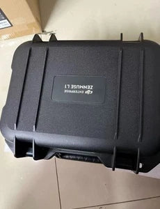
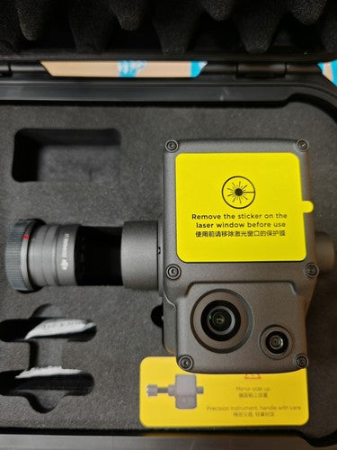
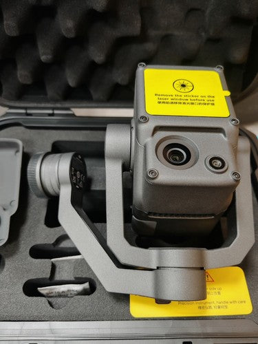
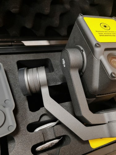
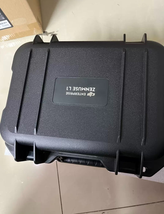
Solución de topografía DJI Zenmuse L1 Lidar + RGB

SKU DJI Zenmuse L1
Precio original $3,647.29 - Precio original $3,647.29
Precio original
$3,647.29
$3,647.29 - $3,647.29
Precio actual $3,647.29

Desbloquea una precisión topográfica sin igual con el DJI Zenmuse L1. Esta avanzada solución LiDAR y RGB captura datos espaciales de gran precisión. Perfecta para cartografía e inspección profesionales, garantiza resultados detallados y fiables. ¡Mejora hoy tus capacidades de recopilación de datos!

Características principales

  • Tipo    Solución de topografía LiDAR + RGB
  • Compatibilidad    Drones DJI
  • Precisión LiDAR    A nivel de centímetros
  • Resolución de la cámara RGB    Alta resolución (no se especifica la resolución exacta)
  • Método de recopilación de datos    Captura simultánea de imágenes LiDAR y RGB
  • Uso previsto    Topografía, cartografía, inspección
  • Características    Alta precisión, procesamiento de datos en tiempo real

💳 Finance This Purchase
Powered by First Citizens Bank Equipment Finance
→

Subject to credit approval. Min. $5,000 financed. 2+ yrs in business. 600+ FICO required.

STEP 1

Product Selection

STEP 2

Contact Information

STEP 3

Review Information

Solución de topografía DJI Zenmuse L1 Lidar + RGB

Enter the details below to request your custom quote in just a few minutes

Add to Wishlist
Request a Quote

Schools, government & business — tax-exempt, W-9 & NET-30 PO welcome.

Nuestros clientes y socios

Features


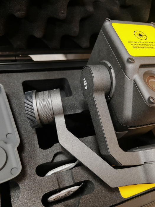
The DJI Zenmuse L1 is an integrated LiDAR + RGB photogrammetry payload designed for high-precision 3D surveying and mapping. Built for the Matrice 300 RTK drone, it combines a Livox LiDAR sensor, a 20MP RGB camera, and a high-accuracy IMU to deliver centimeter-level 3D point clouds with real-time georeferencing. Ideal for topographic mapping, forestry, urban planning, and infrastructure inspection, the L1 streamlines data collection with efficiency and professional-grade accuracy.



Key Features

1. LiDAR Sensor (Livox Mid-40 Based)

  • Range: Up to 450 m (80% reflectivity, 0 klux)

  • Accuracy: ±3 cm (typical)

  • Point Rate: 240,000 points/sec

  • Scan Pattern: Non-repetitive scanning (wider FOV coverage)

  • Field of View (FOV): 70.4° (Horizontal) × 4.5° (Vertical)

  • Multiple Returns: Supports 3 returns per pulse (for vegetation penetration)

2. High-Resolution RGB Camera

  • Sensor: 1-inch CMOS (20MP)

  • Mechanical Shutter: Eliminates rolling shutter distortion

  • Global Shutter Sync: Aligns RGB images with LiDAR data

  • Photo Resolution: 5472 × 3648 px

3. Integrated GNSS/IMU (Applanix APX-15)

  • Positioning Accuracy: 1 cm + 1 ppm RTK (with DJI D-RTK 2)

  • Roll/Pitch Accuracy: 0.025°

  • Heading Accuracy: 0.08°

4. Real-Time Data Processing

  • Point Cloud Live View: Visualize scans in real-time via DJI Pilot 2

  • File Formats:

    • LAS/LAZ, PLY, PCD (LiDAR point clouds)

    • GeoTIFF, JPG (RGB imagery)

  • Post-Processing: Compatible with DJI Terra, Pix4D, Global Mapper, AutoCAD

5. Flight & Survey Efficiency

  • Max Coverage (Single Flight): Up to 2 km² (at 100m altitude)

  • Recommended Speed: 10 m/s (optimal point density)

  • Multiple Flight Modes:

    • Waypoint Grid (autonomous area scanning)

    • Terrain Follow (for uneven landscapes)


Item Includes

  • DJI Zenmuse L1 Lidar+RGB Surverying Solution

Item Includes


Category Details
Weight (L1 Only) 930 g (2.05 lbs)
Weight (With Gimbal) ~1,100 g (2.43 lbs)
Power Consumption 25 W
Operating Temp -20°C to 50°C (-4°F to 122°F)
IP Rating IP44 (splash/dust resistant)
Compatibility Matrice 300 RTK (SkyPort required)


WhatsApp