
Purchase Orders & Tax-Exempt
For schools, universities, government agencies, and qualified businesses — better pricing, NET-30 terms, and tax-exempt orders welcome.
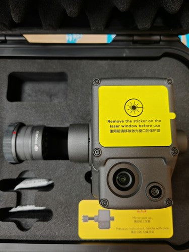
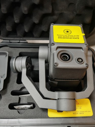
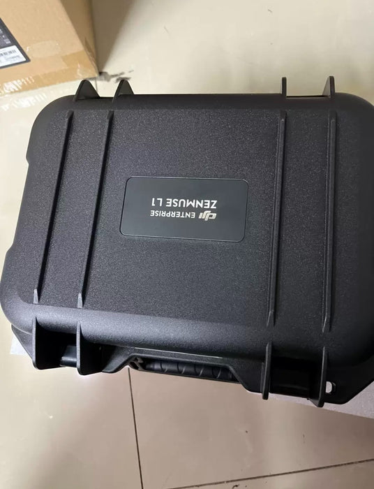
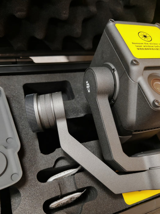
Request a quote →DJI Zenmuse L1 Lidar+RGB Surverying Solution
SKU DJI Zenmuse L1
Original price
$3,647.29
-
Original price
$3,647.29
Original price
$3,647.29
$3,647.29
-
$3,647.29
Current price
$3,647.29
Unlock unparalleled surveying precision with the DJI Zenmuse L1. This advanced LiDAR and RGB solution captures highly accurate spatial data. Perfect for professional mapping and inspection, it ensures detailed and reliable results. Enhance your data collection capabilities today!
Key features
- Type LiDAR + RGB Surveying Solution
-
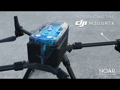
Compatibility DJI Drones
- LiDAR Accuracy Centimeter-level
- RGB Camera Resolution High Resolution (specific resolution not provided)
- Data Collection Method Simultaneous LiDAR and RGB Imaging
- Intended Use Surveying, Mapping, Inspection
- Features High Accuracy, Real-time Data Processing

364729
50482352783640
DJI Zenmuse L1 Lidar+RGB Surverying Solution
9823571214616
DJI Zenmuse L1 Lidar+RGB Surverying Solution